News
New research scientist at the Research Group

Online Webinar: Smarter Agriculture in Africa
DWD Temperature Explorer: An Open-Access R Shiny Dashboard for Visualizing Historical Climate Data Across Germany
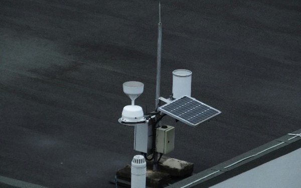
DWD Temperature Explorer: An Open-Access R Shiny Dashboard for Visualizing Historical Climate Data Across Germany

Sentinel-5P Coordinate Explorer: A Web Application for Visualizing Monthly Air Pollution Around Any Location Using Google Earth Engine

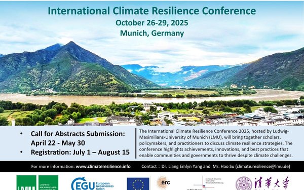
International Climate Resilience Conference (iCARE) 2025
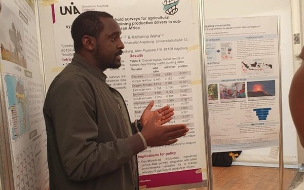
The research group for Climate Resilience of Humanmade Ecosystems made a significant contribution to the International Climate Resilience Conference (iCARE)2025. During the event, Dr. César ?lvarez and Dr. Harison Kipkulei presented important research findings on the effects of climate change and strategies for strengthening resilience among smallholder farmers in the Global South.
@Hao Su, Yao Gao
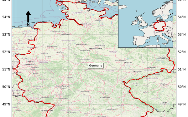
Study Area Map Generator: A Web-Based Shiny Application for Generating Country-Level Study Area Maps for Scientific Publications-engl
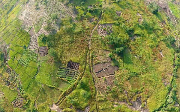
The role of multiple cropping in sustainable and resilient land use and food production
Read our latest research on multiple cropping, published with Springer Nature in Communications Earth & Environment.
(Photo Credit: Daniel Stiel, unsplash)

Reconciling land system changes with planetary health, Tropentag 2025
Dr. Harison Kipkulei attended the Tropentag 2025 Conference in Bonn, Germany, from 10–12 September.
(Photo Credit: Irene Kadzere)
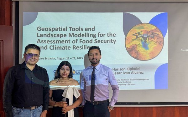
Geospatial tools and landscape modelling for the assessment of food security and climate resilience: Course held in Quito, Ecuador
Cesar Ivan Alvarez and Harison Kipkulei, from the Research Group for Climate Resilience, taught the bilingual course “Herramientas geoespaciales y modelado de paisajes para la evaluación de la seguridad alimentaria y la resiliencia climática” in Quito, Ecuador (August 25–29). Supported by CEDIA/Fondo Avante, the training strengthened Ecuadorian researchers’ geospatial capacities.?
(?U.P. S.)
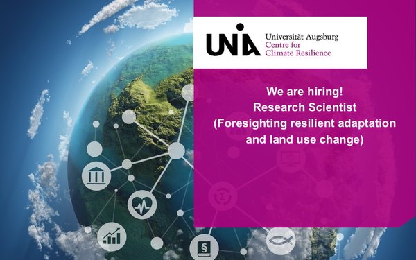
We are hiring
Global Tipping Points Conference 2025
